
Altoona Neighbors by Block Source
A block-level inquiry starts with parcels, then narrows only as far as the source permits. Blair County’s map and assessment records can establish taxable parcel identifiers, situs addresses, owner or care-of fields, mailing-area information, and a deed reference. City records can sometimes date physical work at a precise address. Historic directories can show a printed address in a particular volume. Each has a different access channel and a different limit, so a row in one record should not be treated as a complete household description.
| Source | What It Shows About a Block | Access |
|---|---|---|
| County parcel GIS | Adjacent taxable parcels, situs addresses, and parcel identifiers | Public map, not a legal survey or resident list |
| Assessment/CAMA | Owner or care-of and mailing-area attributes for a parcel | Public mapping and assessment route; owner or mailing field is not occupancy |
| Recorder | Connected title instruments and legal descriptions | Landex login/payment or Recorder counter |
| Street voter list | Statutorily structured voter street data | Strict election, political, or law-enforcement uses; no online publication |
| City code or permit record | Address-specific physical history when releasable | Targeted RTKL request; no public browse database found |
| Historic directories | Printed address residents when a volume supports it | Year-specific library or digital access; reverse run unverified |
| Local-history institutions | Neighborhood historical context | No current membership roster located |
For Altoona neighbors, a parcel boundary is a map and tax-reference tool. It cannot prove where every person lives, establish owner occupancy, or supply a current community roster.
Altoona Neighbors Through Adjacent Parcels
Use the county map to identify the focal parcel and only the immediately adjoining taxable polygons. The public Blair County GIS applications page directs users to the Parcel Viewer and GIS Portal. The research verified map browsing and parcel selection, but not a specific viewer control for a radius or buffer. Click or map-browse adjoining parcels instead of claiming an unverified tool name.
- Find the focal Altoona address in the county parcel map and save the parcel or map number, situs spelling, and available deed reference.
- Map-browse the parcels that touch it, recording only their displayed parcel identifiers, situs addresses, and exposed owner or deed-reference fields.
- Compare the legal description and map or lot data before treating a near address as the same property history.
- Use the deed reference for a separate recorded-instrument search when historical ownership is relevant.
- For a full named-street record chain, use the Altoona street directory rather than extending a block review into a broad search.
The county describes the parcel map as a taxable-area representation for general reference. The City of Altoona also says its GIS is advisory and not a legal description.
Note: Map adjacency identifies nearby taxable parcels, not a measured radius, a household list, or a surveyed boundary.
Altoona Neighbors: Owners Are Not Households
Blair CAMA separates the physical situs address from owner and mailing information. Its public parcel schema includes PAR_NUM, SITUS_ADD, owner lines, DEED_REF, sale price and date, municipal district, ward, map, lot, and land description. An assessment mailing destination is where a notice goes. It is not a finding about who occupies the address. A tax owner field is similarly narrower than a current household record.
The Blair public parcel feature layer is the county source behind those visible property attributes. It supplies no deed image; the deed reference is the research handoff. Preserve the map number and land description before comparing ownership information between parcels or dates.
| Situs address | The physical location carried for the parcel. |
|---|---|
| Mailing field | The assessment correspondence destination, which can differ from the parcel’s location. |
| Owner or care-of field | An assessment attribute that does not identify all occupants. |
| Deed reference | A link to the Recorder research step, not a deed image in the parcel layer. |
Altoona Neighbor Parcels and Deeds
A deed reference gives a property-history route for a particular neighboring parcel. Use the county parcel attributes to save the reference, then search the instrument at the Recorder through Landex or at the counter. The deed’s grantor and grantee, recording date, and legal description help test a transfer. The legal description is the deed language that identifies the actual lot, acreage, subdivision, or other property boundaries. It is more stable than an assumed street-number match.
Landex requires registration, login, and payment for remote records. Blair County does not publish the earliest remote index year. When a remote result is missing, take the later book, page, instrument, party, or description data to the Recorder’s Suite 145 counter for index or book access. A missing online result is not a conclusion about the block.
Recent CAMA sales data can give a prior-three-years grantor, grantee, price, transfer date, and sale deed reference. It can guide the next document request, but a sale price can reflect a transfer that is not an ordinary sale and does not identify who lives at the property.
Altoona Neighbors and Voter Street Lists
Pennsylvania’s personal registration-status route is for an individual to check their own status. It is not a public browse-by-street tool. A different statutory route permits county street lists arranged by street and house number, but the permitted use is narrowly limited to elections, political activities, or law enforcement. The county maintains public-inspection copies under the Election Code, subject to those conditions.
The official request form offers a Street List with name, residential and mailing address, party, and active or inactive status. It requires identification and a signed affirmation. State rules bar publishing an obtained list on the internet, and the form states a $20 per-county fee for the non-export list choices. Do not reproduce a block list or present voter data as general Altoona neighbors information.
Blair County Election and Voter Registration information lists the county office at 279 Loop Road, Hollidaysburg, telephone 814-693-3150, with regular weekday hours of 8 a.m. to 4 p.m.
Altoona Block Change Records
City permits, inspections, and code records may add physical-history evidence for a single address. Altoona Codes & Inspections administers construction, mechanical, electrical, and plumbing permits and property-maintenance enforcement. The research found no public searchable city permit or code-case database. A precise written request, with an address, approximate date range, and named record type, is the documented route when a public record is needed.
The City of Altoona Right-to-Know route accepts written requests by mail, in person, fax, or email through the City Clerk/Open Records Officer. The City Clerk is at 1301 12th Street, Suite 100, Altoona PA 16601, and requests must include a valid name, address, phone number, and email. City records can be subject to statutory exclusions, and police audio or video follows a separate Act 22 process.
Address-specific physical-change records can date construction, demolition, or other documented work. They do not establish an entire block’s occupants.
Altoona Neighbors and Local History
For neighborhood context, use repositories and city departments for the roles they actually hold. The research did not locate an authoritative current neighborhood-association, property-association, or block-watch roster. Altoona’s local sources instead offer historic photographs, oral histories, indexed newspapers, maps, directories, or city-planning context. That is useful for understanding a former block, but it is not a way to infer membership or contact information.
| Local contact | Research role | Verified contact or access |
|---|---|---|
| Altoona Area Public Library | Digital Resources, historic directories, census microfilm, obituary and birth indexes, and local collections | 1600 5th Ave., Altoona; 814-946-0417; Digital Library |
| Blair County Historical Society at Baker Mansion | Local-history links and distributed repository guidance | 3419 Oak Lane, Altoona; 814-942-3916; weekday office hours 9 a.m. to 5 p.m.; resources |
| City of Altoona Planning and Community Development | City planning and community-development contact | 1301 12th Street; 814-949-2470 |
| City of Altoona GIS | City geographic-information contact and advisory map context | 1301 12th Street; 814-949-2465; City GIS |
Llyswen was planned as a streetcar community from 1894 to 1907, and later annexation included Juniata and other areas. Preserve those historic locality labels and verify the municipality or parcel district for the record date.
Altoona Neighbors in Historic Directories
Historic directories add a dated address layer where the selected volume supports it. Altoona’s documented runs begin in 1870–71 and later Polk volumes are verified for selected years, not every year. The 1912–13 Polk directory can show a printed name, occupation or trade, residence address, and compact notation such as h or res. Compare consecutive editions and a released census schedule before treating the printed entry as a household conclusion.
Reverse or criss-cross availability has not been verified as a continuous Altoona run. Ask the library PA Room about the address section for the exact year. Sanborn maps can date a building or read a street pattern, but they do not list residents. A printed local label such as Juniata or East End can also have a different meaning from a current city boundary.
Altoona Neighbor Systems Stay Separate
Official systems have defined, limited purposes. They should not be mixed into a general neighbor directory. County Prison information is facility and contact information, not a verified online roster. Federal court records are separate from Pennsylvania courts. Pennsylvania court access policy describes public-record limits. The public-protection registry carries its own warning and is not a block directory. Unclaimed property is a name-search and claim system, not an address source.
| Official property evidence | Commercial neighbor tools |
|---|---|
| Has a named custodian, record type, access route, and source-specific limits. | May combine varied records and can be stale, incomplete, or conflated. |
| Allows parcel, deed, city-record, or historic-source claims to be tested against the underlying record. | Does not replace verifying a property identifier or legal description with the custodian. |
| May withhold, redact, or restrict information for privacy and legal reasons. | Does not create authority to bypass privacy, access, or use restrictions. |
Blair County Prison information is a limited official facility resource for Altoona neighbors research.
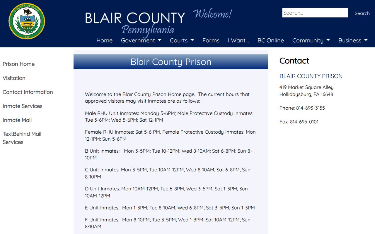
The county page provides facility and visitor information, while research found no verified public online inmate roster there.
PACER is the federal judiciary’s separate system for federal dockets and documents.
Federal court access is not a property-map or neighborhood source, and it should be used only for its own public docket purpose.
Pennsylvania judiciary public-record policies describe the state court-access boundary.
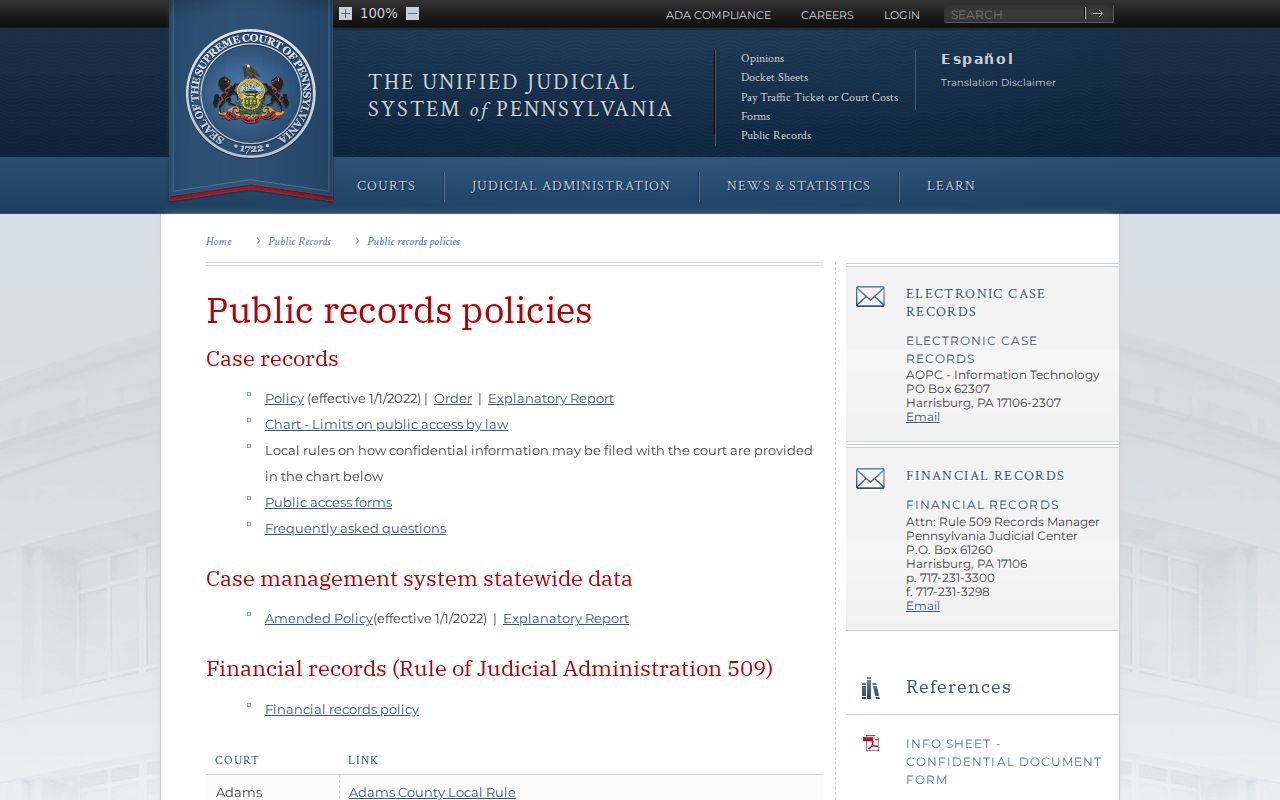
Court confidentiality, sealing, and redaction rules are reasons not to treat a docket result as a general block fact.
Pennsylvania’s Megan’s Law public website exists for public protection and carries a warning about accuracy and identification limits.
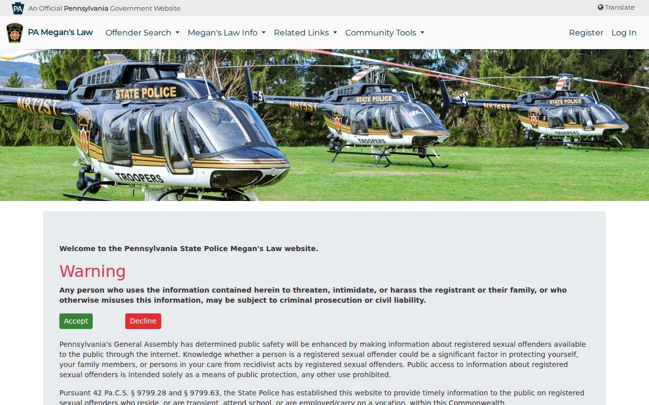
The registry is neither a comprehensive list nor a neighbor lookup, and its information may only be used for the purpose stated by the official source.
Pennsylvania Treasury Unclaimed Property is a distinct name-search and claim portal.
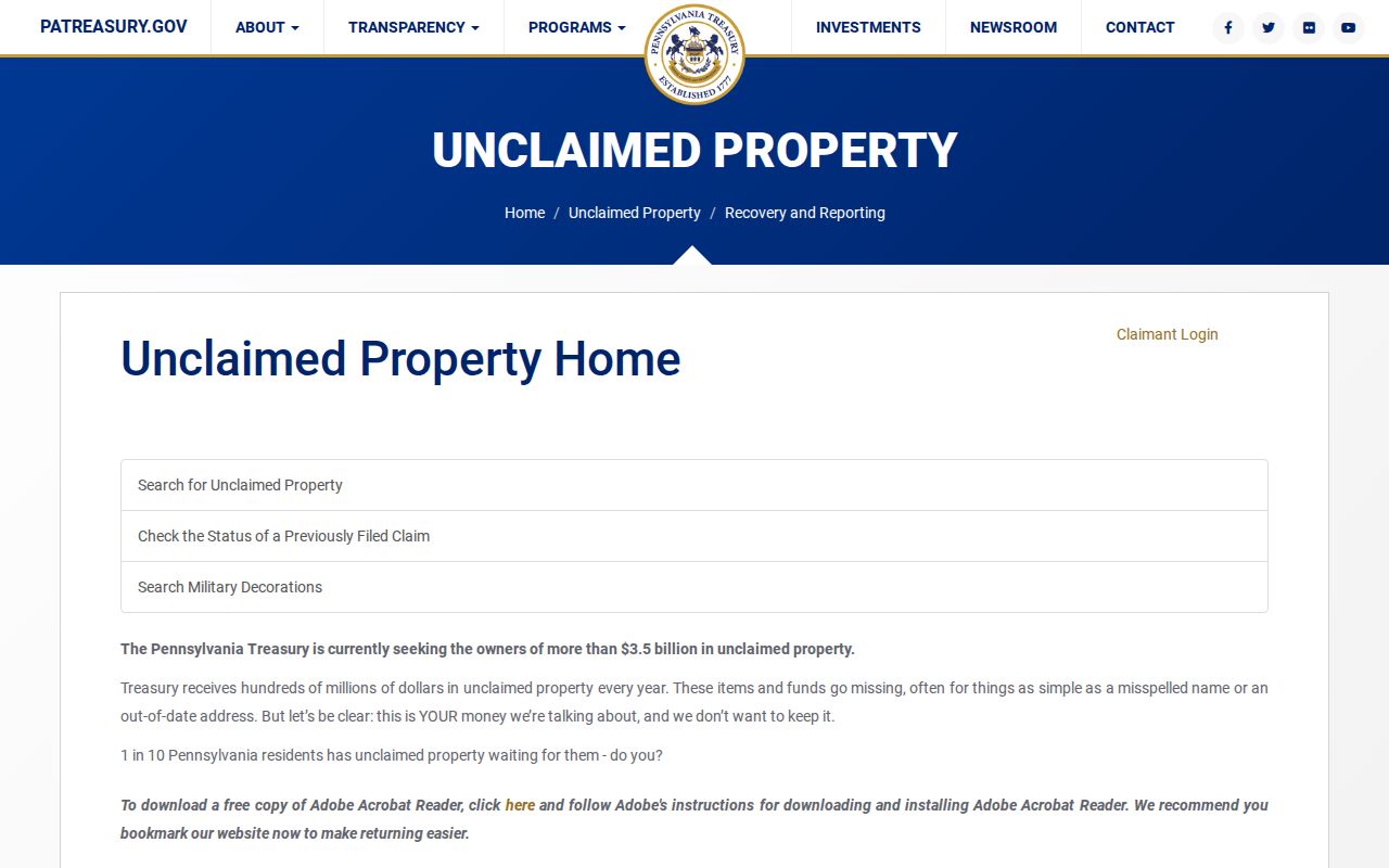
Its official claim process can help a named owner check a claim, but it does not show a neighborhood’s residents.
Altoona Neighbors and Privacy Limits
Some information is deliberately unavailable or protected. Pennsylvania’s Address Confidentiality Program, administered through the Office of Victim Advocate under 23 Pa.C.S. ch. 67, protects actual residential, school, and work addresses for participants. Voter confidentiality can also protect qualifying home addresses under 4 Pa. Code § 183.14. Court policies require different filing treatment for confidential information and can lead to sealing or redaction.
There is no broad Pennsylvania deletion right found in the research that removes every record at once. Correct a public-record error with the custodian that holds it. Public access does not mean every field, address, or household member is available, and an unverified absence is not a reason to look for restricted data elsewhere.
Lawful use. Use Altoona neighbor records for personal historical, civic, or property curiosity. Do not use a block inquiry to watch, threaten, harass, or harm any person.