
Trace an Altoona Street Directory
Altoona’s Blair County records make an address-first trail possible, but they do not make a household roster. The useful sequence starts with the property’s situs address, meaning the physical parcel location, and then moves through its identifiers. An owner name, a tax mailing address, and a resident are different things in the county data. Keep that distinction at every step. A precise address and an approximate date also make a later city request far more useful than a broad request for everything tied to a street.
- Enter the exact Altoona address in the county parcel route or select it on the map. Save the situs spelling, parcel or map number, land description, owner lines, and deed reference.
- Map-browse the street segment only as needed. Nearby taxable parcels can help identify the correct lot, but their drawn edges are general tax-map reference, not a survey.
- Use the deed book/page or instrument reference with the Recorder. Compare the legal description and lot details before treating a similar street number as the same parcel.
- For an election-specific need, use the Pennsylvania voter-list request form rather than the individual self-status tool. Street lists have statutory permitted-use limits and cannot be republished online.
- For an earlier period, ask the Altoona Area Public Library about the address or reverse section in the needed volume. The Altoona city directory collections identify the dated printed trail.
That order keeps the evidence in its proper lane. Parcel data links an address to a property record. A deed shows a recorded interest. A dated printed listing can place a named subject at an address in that edition. None alone confirms every person presently at a location.
Altoona Address Parcel Fields
Blair County describes its assessment information as CAMA, short for Computer-Assisted Mass Appraisal. Its published fields are especially useful for an Altoona street directory because they connect a street address to a parcel identifier and a recorder reference. Read the owner, care-of, mailing, and situs fields separately. The mailing city, state, and ZIP identify where an assessment notice goes. They do not establish who occupies the property.
| CAMA or GIS field | How it helps by address | Limit to retain |
|---|---|---|
| Altoona Property Location / Situs Address | Matches the physical Altoona parcel location. | Use number and street spelling; it is not a household list. |
| Altoona Parcel / Map Number | Supplies the key county assessment identifier. | Old and current formats can differ. |
| Altoona Primary Owner | Names the primary tax-record party. | Does not prove current occupancy. |
| Altoona Secondary Owner / Care Of | Preserves a separate named field. | Do not merge it with the primary owner. |
| Altoona Mailing City / State / ZIP | Records the assessment correspondence destination. | It can differ from the situs address. |
| Altoona Land Description / Acreage | Helps match the parcel to deed language. | Check it against the recorded instrument. |
| Altoona Deed Book/Page or Instrument | Hands the search to the Recorder. | CAMA does not provide the deed image. |
| Altoona Sale Price / Recorded Date | Offers a recent transfer lead. | CAMA sales distribution covers the prior three years. |
| Altoona Municipal / School District | Provides geographic and district context. | It is not proof of a resident relationship. |
The county’s CAMA data description is the best starting source for those field meanings.
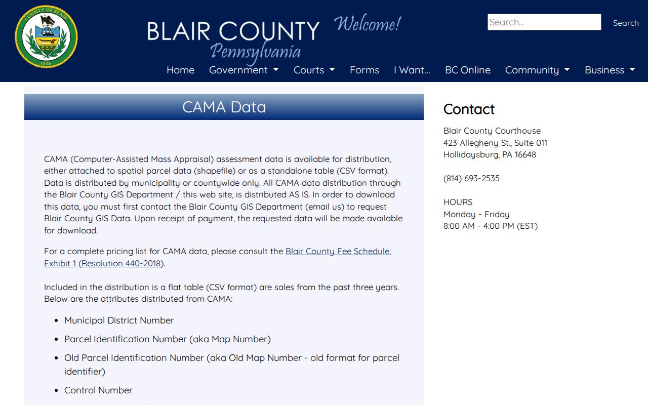
Save the parcel number and deed reference before leaving a result. Those two fields make the next records office search more reliable than an address alone.
Browse Altoona Street Maps
Blair County’s GIS route for Altoona has an address locator with separate Address, City, and Postal inputs, plus map selection for parcel attributes. The public parcel layer exposes the parcel number, situs address, owner lines, deed reference, sale price/date, municipality, ward, map and lot. The live map application required JavaScript during research, so no exact control name for a nearby-parcel or buffer feature is claimed here. Use ordinary address search and map selection instead.
The Blair public parcel feature layer displays the public attributes that anchor this address search.
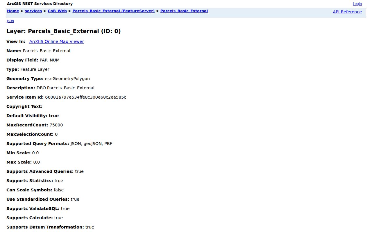
Parcel polygons show taxable areas for general reference. They are not surveyed boundaries, so a survey or recorded legal description is needed when a line matters.
The Assessment Office also offers public tax-mapping terminals in Suite 041 at the Blair County Courthouse, Monday through Friday from 8 a.m. to 4 p.m. This is the useful in-person alternative when an online result needs context or an old map number must be checked.
The county’s tax-mapping terminal instructions show that counter route.
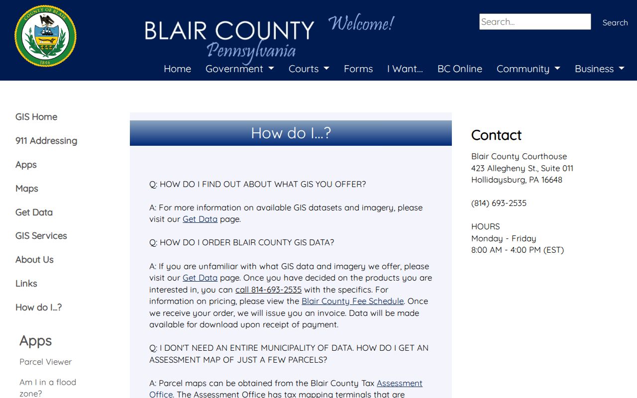
The terminal is a research channel, not a guarantee that every historic parcel format will resolve without staff help.
Altoona Street Deed Chain
The Blair County Register of Wills and Recorder of Deeds is the recorder route for an Altoona instrument behind a CAMA reference. The office directs remote users to Landex. That route requires registration and login, with time/page billing or browser document payment, and the county does not publish the earliest year available online. County reporting says online access has existed since 2005, but that is not a published historical cutoff for the current index.
Search from known facts: party names, recording date, book/page, instrument number, parcel number, and legal description. A grantor is the person transferring an interest; a grantee is the person receiving it. To go backward, locate the seller’s earlier acquisition and test the legal description, map/lot, and parcel identifiers at each link. An address can change, be reused, or describe only part of a later subdivision.
- Parcel
- A county-mapped taxable property unit, identified here by a parcel or map number.
- Situs address
- The physical street location for the parcel, separate from the address used for assessment mail.
- Legal description
- The recorded lot, map, acreage, or boundary language that identifies the property interest.
- Criss-cross directory
- A street-ordered section of a printed directory, when a particular volume actually includes one.
If a remote search stops, take the saved facts to the Blair County Register of Wills and Recorder of Deeds in Suite 145, 423 Allegheny Street, Hollidaysburg. The office provides phone, mail, and in-person access paths.
Note: Landex needs login and payment, and Blair County has not published a historic online cutoff for its remote deed index.
Altoona Street Permit Route
City permit and code records can add a dated physical-change clue to an address trail. Codes & Inspections administers construction, mechanical, electrical, plumbing, demolition, and property-maintenance work. No verified public search database for Altoona permits or code cases was located. The narrow route is a written Right-to-Know Law request to the City Clerk that states the exact address, an approximate date range, and the specific permit, inspection, complaint, or correspondence sought.
The published Altoona building permit fee schedule supplies the current fee context for that address-records layer.
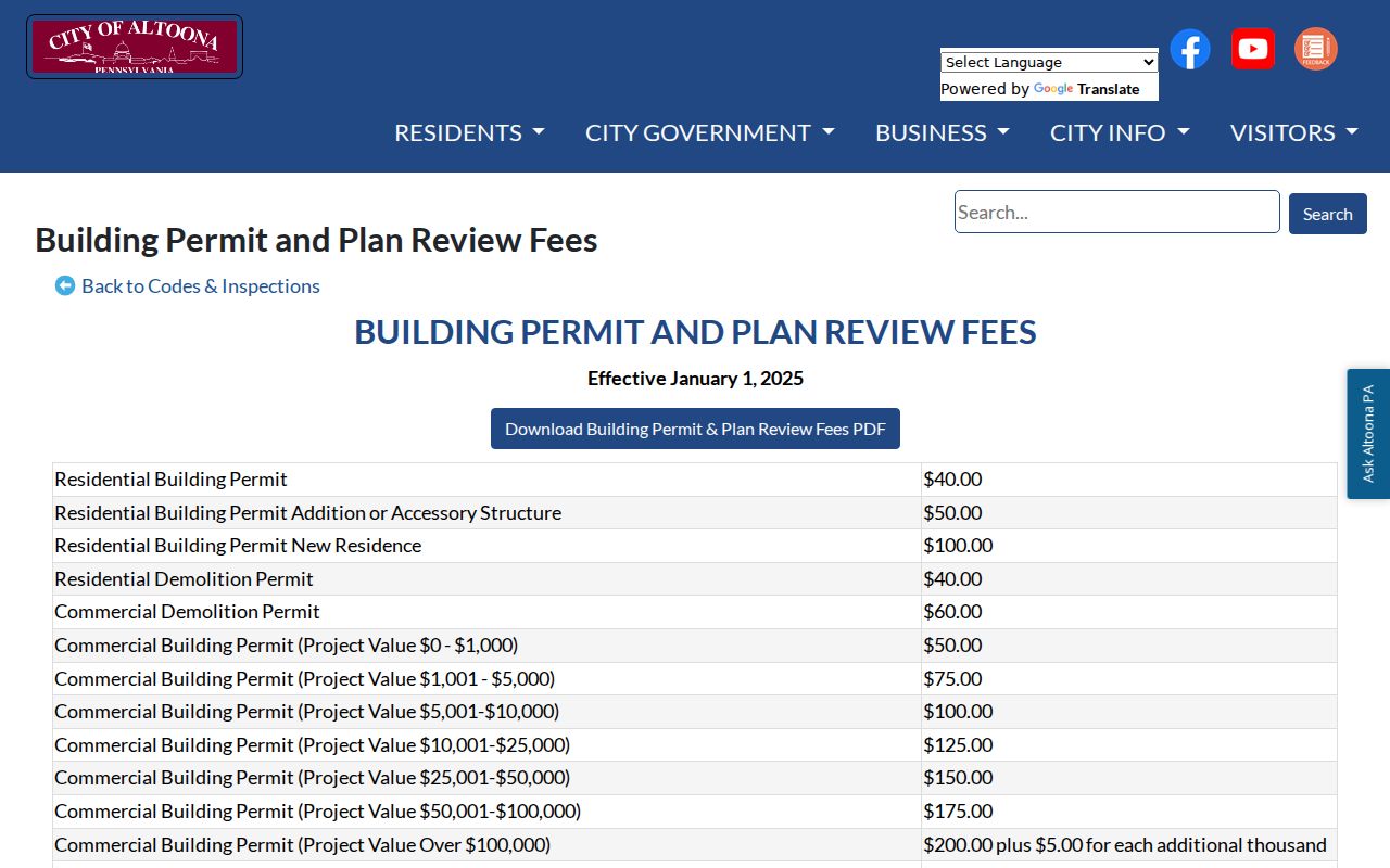
The schedule does not create a searchable permit index. A focused request is still needed for a particular address record.
The City Clerk is the Open Records Officer under the Pennsylvania Right-to-Know Law. A requester must provide a valid name, address, phone, and email, and anonymous requests are not answered. City records are a supplement to the county parcel and recorder path, not a replacement for it.
Altoona Street Title Events
Tax Claim Bureau notices and sale records can point to a title event along an Altoona street. The bureau handles delinquent real-estate tax procedures and sale dates, while current tax questions belong with the local tax collector. A notice or recorded sheriff or tax deed can identify a property and a transfer event. It does not establish who lived there before or after the event.
The Blair County Tax Claim Bureau posts its delinquent-tax and sale information.
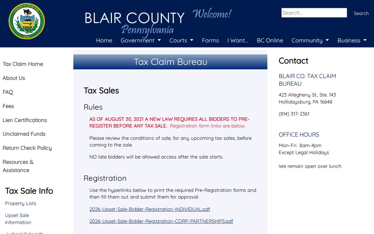
Match any sale item to the parcel number and legal description before connecting it to the recorder chain.
Altoona Street Directory Address Coverage
Each Altoona address-keyed source answers a different question. The following coverage keeps a street directory search from treating property, map, title, city, and historical evidence as if they were interchangeable.
| Address record | Custodian | What it contributes | Access route |
|---|---|---|---|
| Altoona Assessment / CAMA | Blair Assessment and GIS | Parcel, situs, owner/care-of, mailing fields, sale and deed reference. | Parcel data, GIS layer, public terminal. |
| Altoona Parcel Map | Blair GIS | Tax parcel, municipality, ward, map and lot context. | Viewer, map books, or terminal. |
| Altoona Recorded Instrument | Blair Recorder | Grantor, grantee, recording placement, and legal-description trail. | Landex login/payment or counter. |
| Altoona Permit / Inspection | Altoona Codes & Inspections | Releasable dated construction or compliance material. | Targeted RTKL request by address and date. |
| Altoona Tax Claim / Sale | Blair Tax Claim | Delinquency or sale event. | County office and posted notices. |
| Altoona Historic Directory | Altoona library or Penn State | Printed name, address, trade, and residence notation. | Year-specific physical or digital volume. |
The county parcel chain is the modern address route. The historic printed route is year specific, so it should never be presented as a continuous street-by-street collection.
Altoona Street Place Labels
Altoona’s address geography reflects the railroad city’s growth. The original rail yard lay near today’s Station Mall between 9th and 10th Avenues, with commercial development to the west and residential development to the east. Historic entries may use numbered avenues, rail references, wards, or locality names rather than a current mailing label. Juniata, East End, and Llyswen need to be read in the record’s period.
The City of Altoona GIS page carries the city’s mapping caution and is useful for city-limit and zoning context.
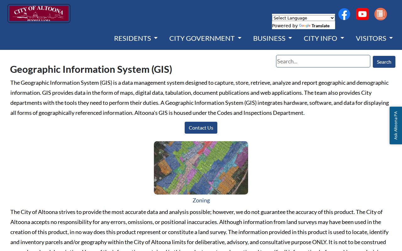
City GIS is advisory rather than a legal description. Pair its map context with the county parcel number and a recorded instrument when tracing an old address.
Llyswen was planned as a streetcar community from 1894 through 1907, and Juniata was among annexation-era areas. A historical locality label can therefore be a research lead, not proof that a location fell inside today’s city limits.
Altoona Historic Street Entries
Historic directories give this street directory a dated human layer. The digitized 1912–13 Polk volume uses compact residence marks such as h and res, may include an occupation or widow relationship, and includes Altoona, Hollidaysburg, Juniata, East End, and other locality references. A printed entry identifies its named subject in that edition. It does not prove a current address or identify every member of a household.
Ask the Altoona Area Public Library PA Room whether the specific directory year has an address section or a reverse, criss-cross arrangement. Verified Altoona runs are irregular, and no continuous local reverse-directory sequence was confirmed. Pair a useful entry with the closest released census and a deed or parcel check before drawing a family-history conclusion.
Note: Preserve the directory’s printed locality and abbreviation exactly, because both can distinguish a historic entry from a later address match.
Altoona Street Directory Boundaries
An Altoona street directory cannot reveal every resident, everyone who occupies a place, utility customer, driver, or protected address. The county’s owner and mailing fields do not prove occupancy. Pennsylvania’s individual voter-status tool is not a public street browser, while public street lists have strict election, political-activity, or law-enforcement purposes and a ban on internet publication. Confidential-address protections and sealed or redacted court material also limit what is available.
Lawful use. Use Altoona address records for lawful personal, historical, civic, or property research. Do not use record information to stalk, harass, intimidate, or harm anyone.
When a record is unclear, verify it with the office that holds it. That safeguard is especially important when an address, mailing field, historic locality label, and parcel description do not align.