
Altoona Previous Residents by Era
Previous residents are best traced as an address history. Blair County’s parcel information provides the present-day handoff, while recorded instruments, library materials, archives, and census schedules move the inquiry into earlier periods. The local trail has gaps. A missing entry is not proof that nobody lived there, and a name in a tax or deed record is not proof of a full household. Save the parcel identifiers and compare each later source against the property description before drawing a conclusion.
| Source | Years It Covers | Where Held | What It Shows |
|---|---|---|---|
| Blair estate index | 1846–1980 | PHMC guide and Orphans’ Court route | Estate names and a probate research bridge |
| Altoona and Blair directories | 1870–71 onward, with verified irregular runs | HABS bibliography, Altoona Area Public Library, and Penn State | Printed names, trades, and addresses |
| Polk directory | 1912–13 digitized volume | Penn State Digital Collections | Inspectable address and abbreviation clues |
| Marriage-license index | 1885–1980 | PHMC guide | Relationship or date lead, not address proof |
| Blair birth and death registers | 1894–1905 | PHMC and county clerk route | Historic vital-event detail |
| Federal census | Released schedules through 1950 | Altoona Area Public Library microfilm and federal access | Household composition at census time |
| Sanborn maps | Edition selected from linked collections | Altoona Area Public Library resources | Building and street context |
| Recorder remote index | Earliest remote year not published | Landex and Recorder counter | Recorded deed chain |
Older probate materials can reach before many address sources. Directories begin later and the verified runs are irregular, so use the actual edition in hand rather than assuming a yearly series. The census is a dated snapshot, not a continuously updated address file.
Altoona Address File First
Build a short property file before searching names. The Blair County CAMA and GIS route distinguishes a parcel’s situs address from its owner and mailing fields. Record the current and old parcel or map number, control number when shown, map and lot information, land description, and the deed reference. The old parcel number is a verified bridge when mapping or subdivision changes make a later parcel search fail. It is more reliable than inventing a citywide renumbering event.
The county’s public parcel layer also presents fields such as PAR_NUM, SITUS_ADD, owner lines, DEED_REF, sale information, municipal district, ward, map, lot, and land description. The property map represents taxable areas for general reference. It is not a survey or a legal description.
Note: Preserve the situs spelling and identifiers exactly, since an old street number or locality label may not match a modern search result.
Altoona Deed Chain Backward
The deed chain is the core record route for previous residents who were connected to ownership. Start at the current parcel, then use its deed reference, a known recording date, book and page, instrument number, or party name at the Recorder. In a present deed, the grantee is usually the buyer and the grantor is the seller. The next step is to find the seller’s earlier acquisition as a grantee. At every link, compare the legal description and lot or parcel identifiers. A family transfer, estate, tax sale, merger, subdivision, or reused street number can otherwise create a false match.
- Locate the current parcel in CAMA or the public map and save its map number, situs spelling, land description, and
DEED_REFor other recorded reference. - Use the known reference at the Recorder’s remote route or counter to inspect the current transfer and write down each party, recording date, and legal description.
- Search the seller as a grantee, or follow the earlier reference stated in the document, to find the seller’s acquisition.
- Repeat the comparison backward. Keep a dated list of links and flag each unresolved change in the description or parcel identity.
- Take the exact later reference to the Recorder’s Suite 145 counter when the remote result is absent or incomplete, and request book or index access rather than guessing.
- Grantor
- The party conveying an interest in the recorded instrument, commonly the seller in an ordinary purchase.
- Grantee
- The party receiving the conveyed interest, commonly the buyer in an ordinary purchase.
- Chain of title
- The documented sequence of recorded transfers that links one property interest to an earlier one.
- Legal description
- The deed language identifying the lot, acreage, subdivision, or other property boundaries. It is the comparison point when an address label changes.
Altoona Landex Gaps and Counter Access
Landex Remote/Webstore is the county-directed route for remote Recorder research, but it requires registration and login. It uses time or page billing, or document purchase. Blair County has had online access since 2005, yet the county does not publish the earliest year of its remote index or images. An absent remote result therefore does not establish that no instrument exists.
The county-linked Blair County Record Alert page shows another, different service: free monitoring for newly recorded documents under up to five registered names. It can be useful for a current recording alert, but it is not title proof and it does not replace a deed search. Verify a notice through the Recorder using known county contact information.
For Altoona previous residents from an older interval, use the last confirmed reference as the bridge to book indexes and counter access. The Recorder and Register of Wills office is the correct custodian for that fallback, while the Assessment Office provides a public tax-mapping terminal for the map side of the process.
The Landex remote records gateway shows the login-based entry point used for this Altoona previous residents research.

The gateway is a starting channel only. The legal description and recorded reference remain the means for testing whether two deed results concern the same Altoona property.
Altoona Previous Residents in Directories
Directories provide the household layer after the recorded-property trail. Altoona’s documented sequence begins with the 1870–71 Blair County directory and continues through verified, irregular later runs. The 1912–13 R. L. Polk volume is available through Penn State and includes Altoona, Hollidaysburg, Juniata, East End, and related locality labels. A printed entry can contain a surname, initials, occupation or activity, residence address, and compact notes such as h or res. Occasional widow notation can help distinguish same-name entries, but it still needs a second source.
The digitized 1912–13 Polk Altoona and Hollidaysburg directory is an inspectable example of this Altoona previous residents evidence.
The Blair County Record Alert page documents a separate, free monitoring route for newly recorded county documents.
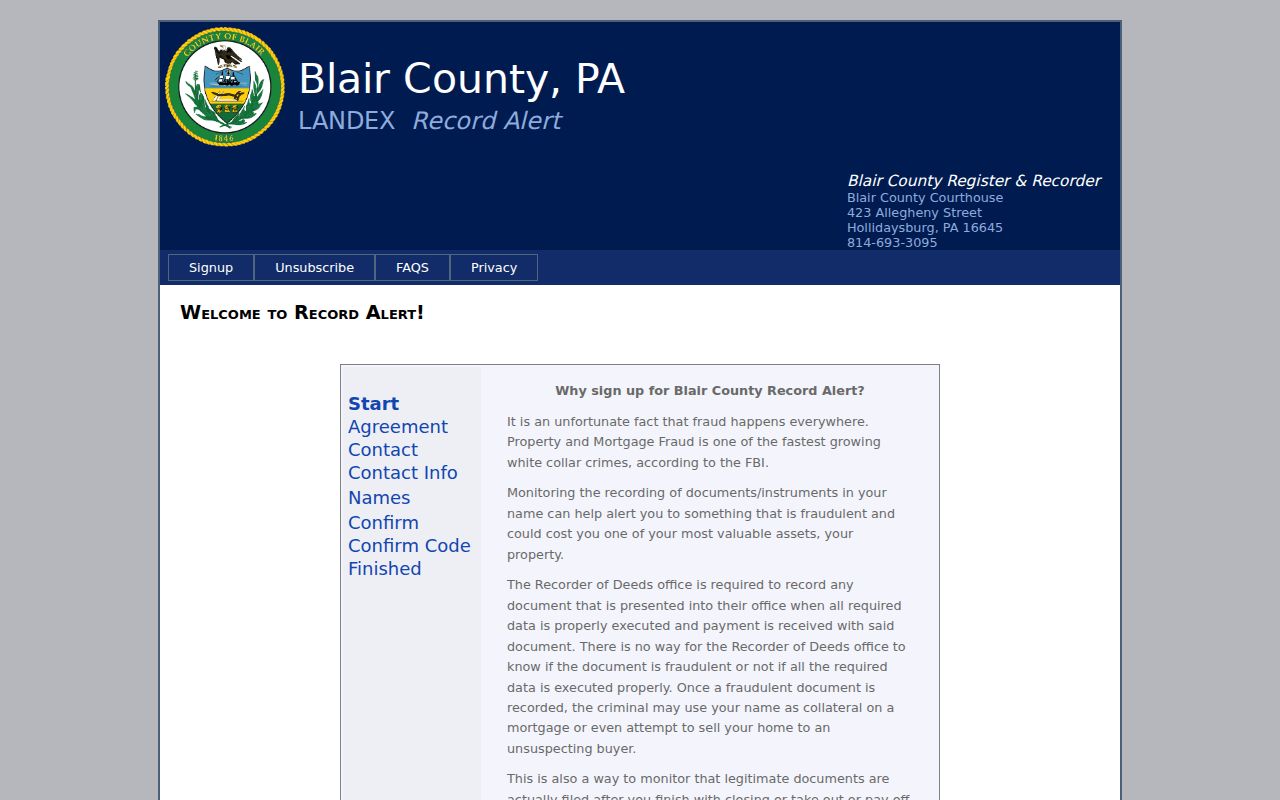
The related Record Alert view concerns new Blair recordings, not a historic directory. It reinforces the need to separate a recording notification from evidence in an older printed address listing.
Do not promise an address-first directory search for every year. Local holdings include old city directories, but research did not verify a continuous criss-cross or reverse-directory run. Ask the Altoona Area Public Library PA Room whether the specific volume has an address section or reverse directory before relying on it.
Altoona Census Pairing for Past Residents
Pair the closest directory edition with a released federal census schedule. The Altoona Area Public Library holds Blair and Huntingdon county census microfilm, and released schedules extend through 1950. A directory can supply an address and printed occupation; the census can test household composition, ages, birthplace clues, ward or neighborhood context, and name variants at census time. Neither source is annual proof.
- Copy the directory entry exactly, including initials, occupation abbreviations, residence notation, and any locality label.
- Choose the nearest released census, then search with the name plus the address, ward, occupation, or nearby family clues where available.
- Compare names and household details without assuming every listed person belonged to the same household or property.
- Return to the deed and parcel description if the address is uncertain, then compare a neighboring directory edition for continuity.
A directory absence can reflect an omission, move, name variation, coverage boundary, or a person listed under another household member. Treat it as a lead to investigate, not a final answer.
Altoona Previous Residents and Sanborn Maps
Sanborn fire-insurance maps help date the structure and read street context. The Altoona Area Public Library’s digitized resources page links to Altoona Sanborn materials, along with local oral histories, historic photographs, and Tribune indexes. Select the edition from the linked collection instead of assigning an unverified date range. A map can show a building footprint, street arrangement, or period context. It does not identify everyone who lived there.
The PHMC historical birth-record guide also illustrates the date-based archival path that can supplement an Altoona previous residents trail.
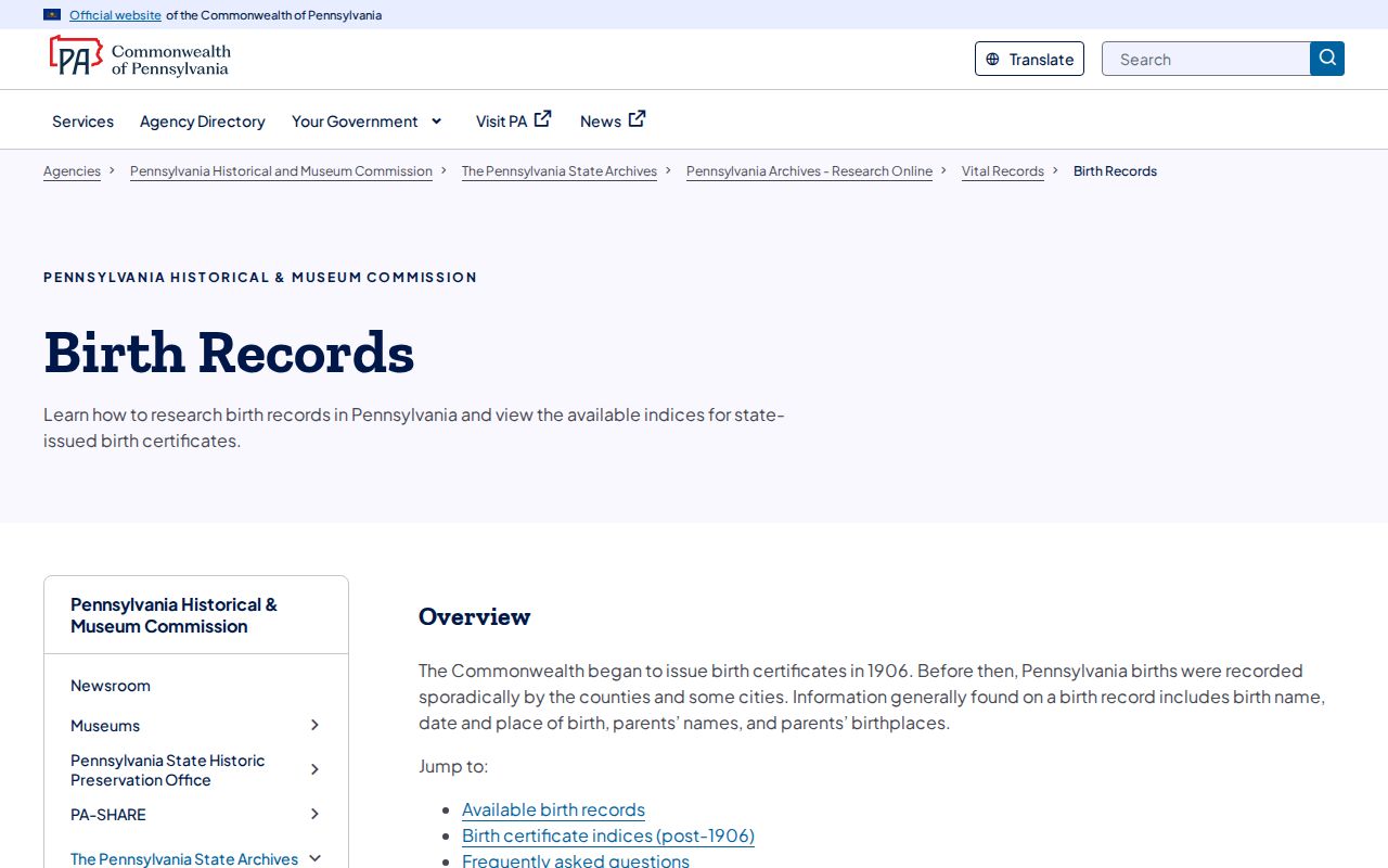
Historical vital indexes can lead to a dated event, but they do not turn a map or address into a current household record.
Altoona Previous Residents and Probate
When a recorded transfer moves from an estate or names heirs, probate material may explain the change. PHMC’s Blair guide identifies an estate index for 1846–1980 and Orphans’ Court docket rolls for 1846–1882. Marriage indexes, birth and death registers, and obituary citations can provide separate date or relationship leads. Use each as corroboration, then seek the underlying record from the correct custodian.
The Blair Clerk of Orphans’ Court fee information identifies the local court route for historic certificate and marriage-related matters.
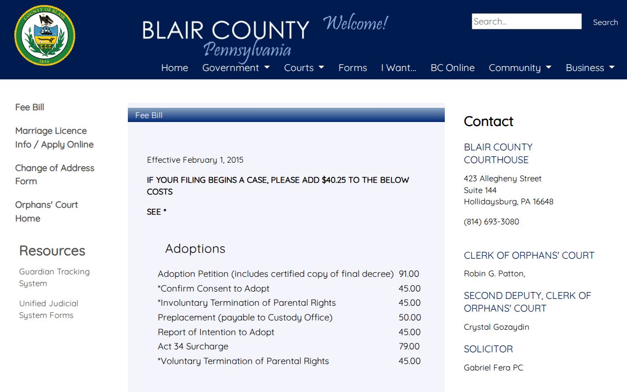
The court route is a historical-record channel, not a shortcut to prove that a living person occupies an Altoona address.
The Blair Prothonotary civil fee information is separate from the probate route and applies to civil and divorce record requests.
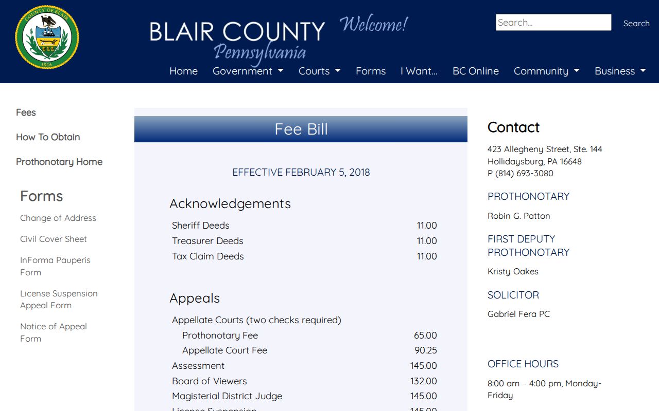
A civil file or decree has its own access and redaction limits. It should not be used to fill gaps with assumptions about an address history.
Altoona Previous Residents by Locality
Altoona’s rail-era development makes locality labels important. The city was laid out in 1849 around Pennsylvania Railroad activity, and the original yard near today’s Station Mall separated early commercial development on the west from residential development on the east. Later records can reference numbered avenues, rail areas, wards, Juniata, East End, or Llyswen. Llyswen was planned as a streetcar community from 1894 to 1907, while annexation changed the city’s footprint.
For previous residents, preserve the locality as printed and verify the municipality and parcel district for the record date. The 1912–13 Polk directory’s broader Altoona and Hollidaysburg scope is a reason to check, not silently modernize, a historic place label.
The Blair Clerk of Courts fee information is a separate court-record resource that may be relevant only when a public court record is genuinely needed.
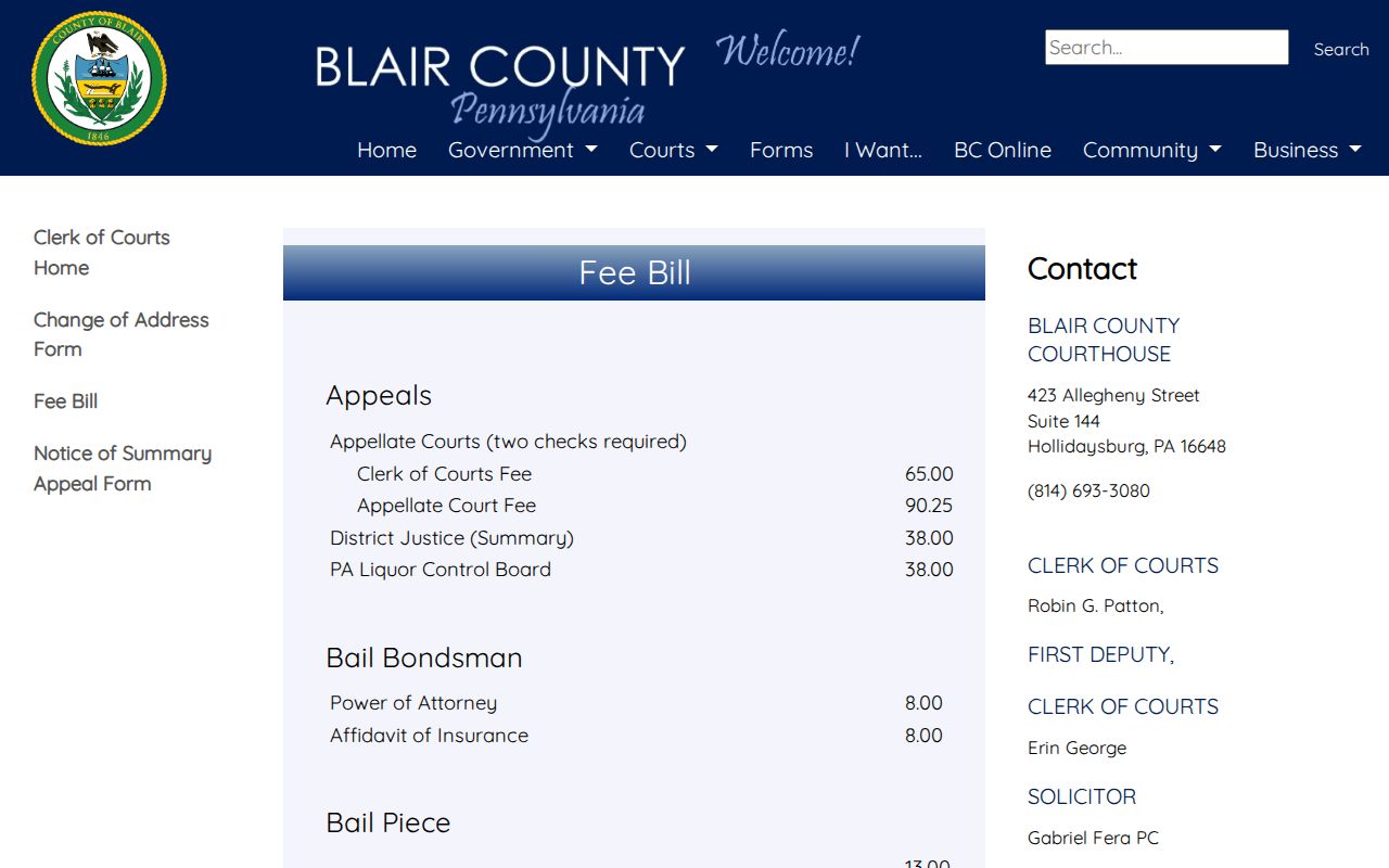
Criminal clerk material is not a resident directory and should not be substituted for parcel, deed, directory, or census evidence.
Altoona Past Households and Lawful Use
Use a past-household trail for family history, estate research, or the history of a place. The Altoona city directory collections offer the fuller history of the printed volumes, while the address sequence here keeps the focus on one property over time. An obituary index or a probate file can close a historical question, but neither should be treated as a current location signal.
Lawful use. Altoona previous residents research is for personal historical and property research. Do not use an old address trail to track, threaten, harass, or harm a living person.
Keep a source log with the record date, source type, parcel identifier, and uncertainty. That simple record separates a documented transfer, a printed directory clue, a census household, and a building map from conclusions the sources do not support.