
Altoona ZIP Code Directory Coverage
Three postal ZIP codes are associated with Altoona: 16601, 16602, and 16603. The available USPS destination-label material associates 16601 through 16603 with Altoona, but it is not a municipal-boundary map. The verified material does not support neighborhood-by-neighborhood lines, a citywide split map, or a claim about PO-box or unique status. Use an address lookup before assigning any particular street to one of these ZIP codes.
| ZIP | Areas Covered | Post Office | Notes |
|---|---|---|---|
| 16601 | Standard Altoona postal ZIP | USPS Altoona PA 16601 label association | Verify a physical address before inferring a boundary |
| 16602 | Standard Altoona postal ZIP | USPS Altoona PA 16602 label association | USPS material combines it operationally with nearby ZIPs for some sorting |
| 16603 | Altoona postal ZIP | USPS material places it in an Altoona 16601 grouping | PO-box and unique status were not confirmed in the research |
These postal associations do not supply detailed land coverage. Destination labels can be useful for mailing and preliminary searching. They should not be expanded into an address-by-address city map without a current USPS result and an authoritative boundary source.
Verifying Altoona ZIP Codes
USPS ZIP Lookup is the verification tool for a complete physical address. Enter the full street address to receive the applicable ZIP, or use the city-and-state route to identify ZIPs associated with Altoona. A city-and-state result is a postal association. The address result is the more useful check when comparing a parcel record, a court filing, or an older directory entry.
- Start with the complete physical street address, including the number and street name. Do not begin with a resident name.
- Use the USPS ZIP Code Lookup to verify the postal ZIP for that address.
- Compare the result with the county parcel's situs address and mailing fields. Save each field as it appears, because they answer different questions.
- Use the confirmed address or parcel number with the appropriate custodian. A ZIP can narrow a location, but it is not a ZIP-wide resident roster.
Once a postal area has been narrowed to a street and property, the Altoona street directory has the address-level record trail. That route begins with a parcel rather than a broad postal label.
USPS labeling material also describes a current sorting relationship: 16601 and 16603 are directed to Altoona PA 16601, while 16602 and several nearby ZIPs are directed to Altoona PA 16602. That operational grouping helps explain why a postal result may not match an expected neighborhood label. It does not supply a boundary line, a city-jurisdiction finding, or a list of addresses served by each ZIP.
Altoona GIS Postal Fields
Blair County's public parcel GIS can help verify a location, but its documented postal fields do not promise an open ZIP-wide owner or resident search. The locator separates the address, city, and postal inputs. Its parcel records use the physical situs address and parcel number as stronger property keys, and they may also show a mailing city, state, or ZIP. A mailing destination is not evidence of residence at the parcel.
| Search field | Use and constraint |
|---|---|
| Address | Separate text geocoder field for the physical location |
| City | Text field; use Altoona, then confirm municipal limits separately from the postal label |
| Postal | Postal query field; the research found no documented ZIP-wide owner export |
| Parcel number | County assessment key, shown as PAR_NUM in the public layer |
| Situs address | Physical property address, shown as SITUS_ADD in the public layer |
The county's GIS applications page links to the Parcel Viewer and related public mapping tools.
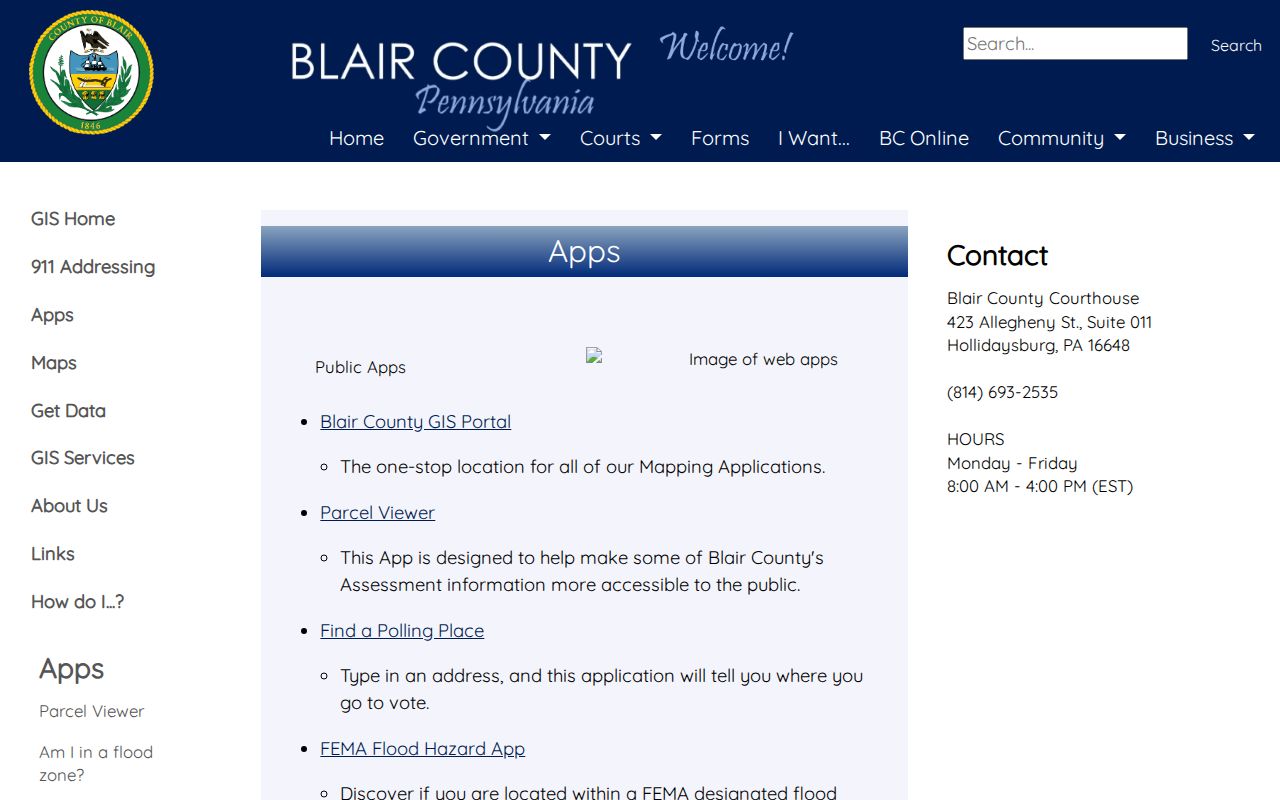
The GIS route supports address and parcel research, while the final postal assignment still comes from USPS address verification.
The public layer also exposes a deed reference, sale price and date, municipal context, and map or lot fields for a selected parcel. Those fields can hand a researcher to the Recorder or help identify a historic location. They do not convert the map into a survey or make a postal filter a documented owner export. The county describes parcels as taxable-area representations rather than surveyed boundaries.
Altoona ZIP Code Directory Limits
ZIP boundaries and City of Altoona limits have different purposes. An address can carry an Altoona postal label without proving that it lies inside the city, and historical records may use surrounding or annexation-era locality names. An Altoona label is useful for mail processing and record searching, but city jurisdiction needs a municipal or parcel-based check. The same caution applies to current occupancy: neither a postal ZIP nor a parcel-owner field proves who lives at an address.
Postal limit. A ZIP code confirms a mailing destination for an address. It does not prove city limits, parcel ownership, household membership, or current residence.
Note: The research did not verify granular boundaries, a PO-box classification, unique ZIP status, or a ZIP realignment year for Altoona.
Altoona ZIP Address Keys
Postal research is more reliable when the record key matches the question. County CAMA data deliberately separates the situs address from a mailing city, state, and ZIP. Deed research needs a legal description, parcel or map number, and the deed reference. The City GIS warns that its maps are not legal descriptions, so the recorded document is the stronger link in a property chain.
- Situs address
- The physical street location carried by the parcel record.
- Mailing address
- The destination used for assessment correspondence. It can differ from the situs address.
- Legal description
- Recorded deed language identifying the parcel, lot, acreage, or other property interest.
- ZIP+4
- An added postal delivery detail. It does not change the city boundary or property record.
- Carrier route
- A postal delivery grouping, not a municipal boundary or a public household roster.
For a deed or parcel question, save the parcel number, situs spelling, and legal description before using the Recorder's Landex route. The county does not publish a verified historical cutoff for the remote index, so an older record may require the Recorder counter in Suite 145.
Altoona Election Records by Address
Pennsylvania's self-service voter-status route is for an individual checking that person's own registration status. It is not a public browse-by-ZIP directory. Blair County Election and Voter Registration provides a local contact and polling information, while the official voter-list request process is separate and carries statutory conditions. Street lists are structured by street and house number under the Election Code, not as a general ZIP dataset.
The Blair County election and voter-registration FAQ identifies the local office and its published contact information.
The official election route is useful for its defined civic purpose, but it does not create a general resident list for a postal area.
County public-information and street lists are subject to 25 Pa.C.S. sections 1403-1404. The state request form requires identification and a signed statement limiting the use, and it prohibits internet publication of an obtained list. Protected voters may also receive confidential home-address treatment or an alternate mailing address.
Altoona ZIP Address Leads
Tax-claim and public sale records can supply an address-specific title event, such as a delinquency or sale notice. They are not proof of occupancy and are not a ZIP directory. Use a listed property identifier as a lead back to the parcel map, assessment record, or Recorder. Current taxes remain with the local collector, while the Blair County Tax Claim Bureau handles the county's delinquent real-estate tax and sale process.
County-linked Tax Claim notice and sale material illustrates the address-based nature of that record trail.
A title event can help locate a parcel, but it must not be used to infer a current resident or a ZIP-wide ownership list.
Altoona Business Search Limits
A postal label does not expand Pennsylvania's business-record search. The Department of State searches by an entity's correct name or an entity or file number. Its official guidance says the system does not search by officer or owner name, business address, business type, tax number, or purpose. It can provide a filing-history route, but it cannot establish who resides within an Altoona postal area.
The Department of State's business record-search guidance sets out the search limits and the office's assistance channels.
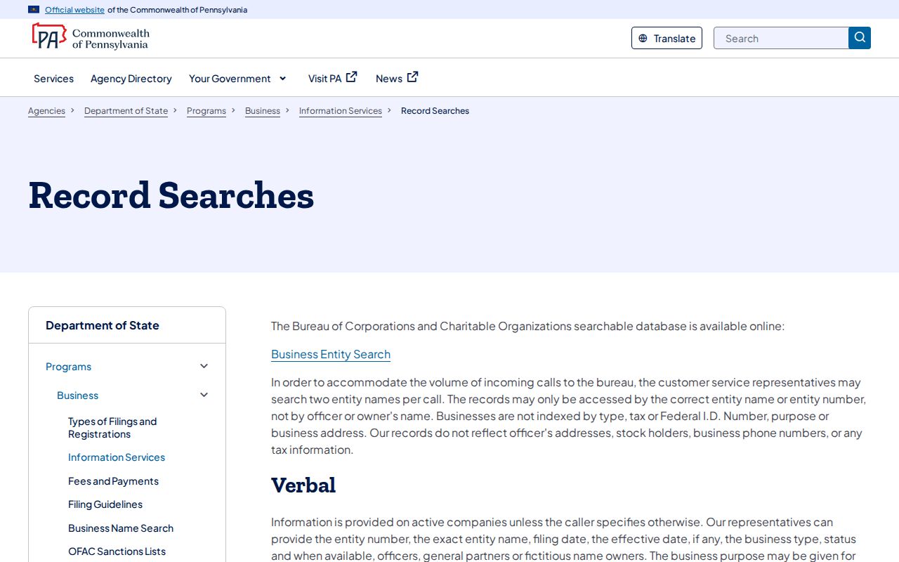
That limitation keeps a business filing search in its proper role: an entity-record tool, not a postal resident roster.
Altoona Postal Geography History
Older address records need their own local reading. Altoona developed around Pennsylvania Railroad tracks and shops, with the original rail yard near today's Station Mall between 9th and 10th Avenues. The west side developed as commercial and the east as residential. Later annexations included Juniata, East End, Fairview, Eldorado, Lakemont Terrace, Llyswen, and South Altoona. A historical directory may use a numbered avenue, a neighborhood name, or a surrounding locality that should be read in its period.
Llyswen was planned as a streetcar community from 1894-1907. Those historical place names are useful context for a record date, yet they should not be automatically converted into a present ZIP or municipality. Compare the record's address, parcel district, and period before drawing a geographic conclusion.
That distinction is especially useful when reading a directory, map, or transfer from a time before later city growth. Preserve the locality as printed, then test it against the contemporary parcel and recorded-property information. A postal lookup can confirm mail delivery for a current physical address, but it cannot retroactively assign an older record to a modern ZIP code.